The Athabasca Region has a lot of what you might expect… forests, lakes, trails, community events and small-town charm. We also have some unique places, activities and events you won’t find elsewhere!
From a BBQ at the Athabasca Airport to a triathlon that includes the Athabasca River, The Athabasca Region has something for an entertaining day trip, an active weekend getaway or a week of exploration. #LiveLifeOutside in the #AthabascaRegion
 |
 |
 |
Athabasca Airport Fly-In BBQ
Every July, Athabasca County hosts the Fly-In BBQ at the Athabasca Airport! It’s an annual family event that locals and visitors love!
The airport is about 8 km northeast of Athabasca, about 2 hours north of Edmonton and 3 hours south of Fort McMurray. Parking is available, but it gets busy so you may have to walk in a bit.
There is a free BBQ, activities for the kids, and a classic car show. It’s a fun family afternoon, especially for those who love planes!
Pilots can fly their planes to the BBQ, and join in from around the province. If you are a pilot who would like to fly in, please be sure to register: athabascacounty.com/PILOT-REGISTRATION
 |
 |
 |
Workout at the Athabasca Riverfront
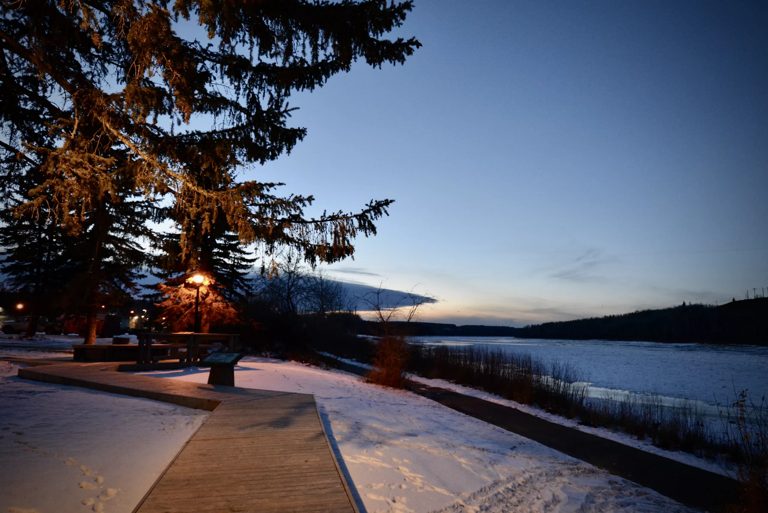
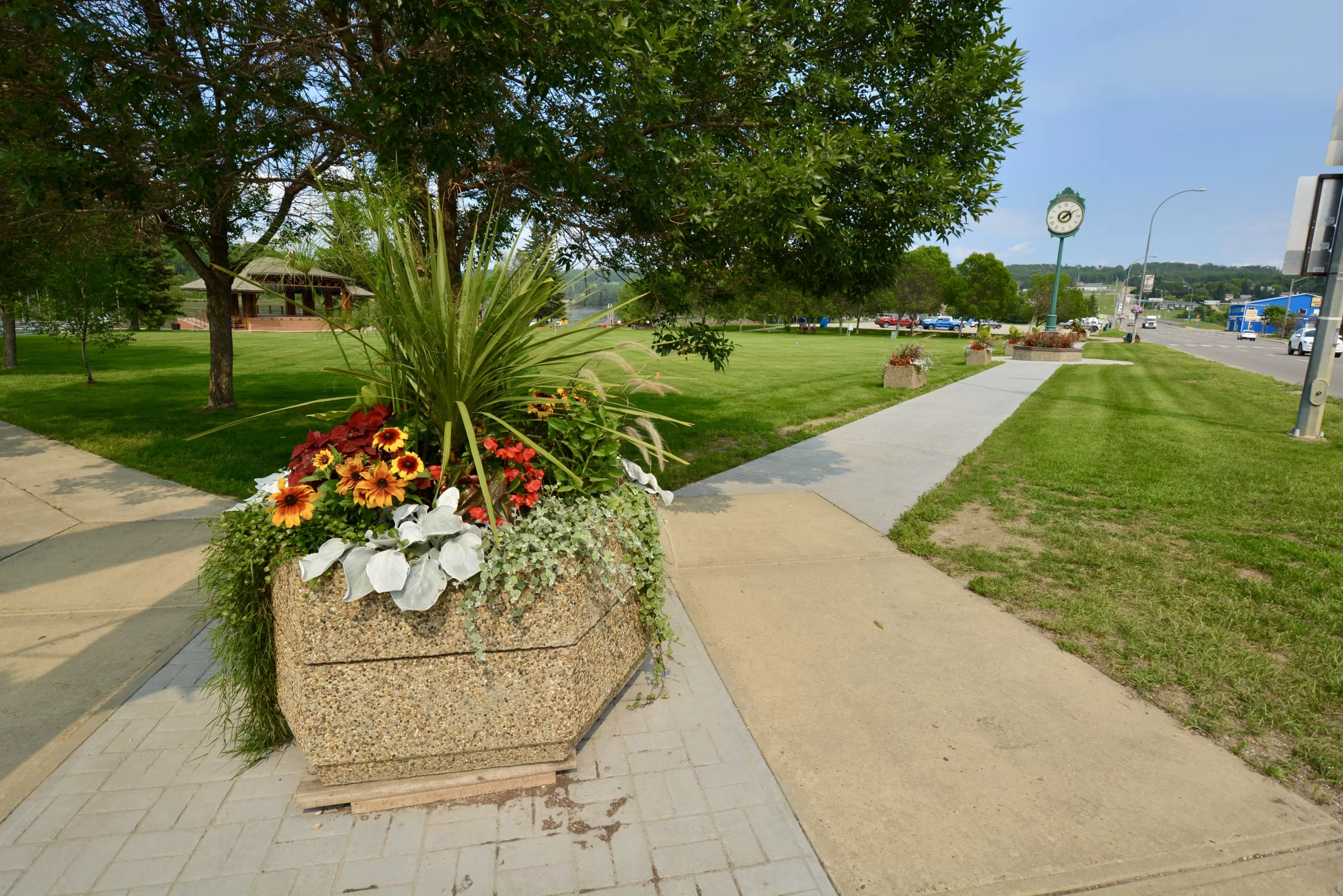
Athabasca’s Riverfront Park is the beautiful heart of the town. It’s a place where folks meet up, grab lunch at one of the food trucks or launch their boat in the river. There’s a playground, a splash park and a skate park.
Adjacent to the playground is one of Athabasca’s unique amenities: the outdoor training circuit. A circuit of machines that use body weight to provide resistance is set up so you can work out while the kids play in the playground. Or maybe the kids want to work out too!
After your workout, everyone can come together around one of the firepits for a fire, roast some hotdogs, and watch the river go by.
 |
 |
 |
Athabasca’s “Hollywood” Style Welcome Sign
Athabasca doesn’t have much in common with Hollywood, except for one thing… a big sign on a hill!
Kind of like the famous Hollywood sign, on the north shore of the Athabasca River, across from Downtown Athabasca, is a sign up on the bank welcoming folks to town and asking everyone to keep things green by preventing forest fires! It’s a little smaller, well, a lot smaller, but you can’t miss it! Even the locals call it the Hollywood sign.
You can get to the site, at Lion’s Centennial Park, by crossing the bridge (Hwy 813) and turning left at the sign. The park has amenities to enjoy the view of the town while picnicking or relaxing in the gazebo.
Even this view is unique! Not many Alberta towns boast a view of their home like this!
 |
 |
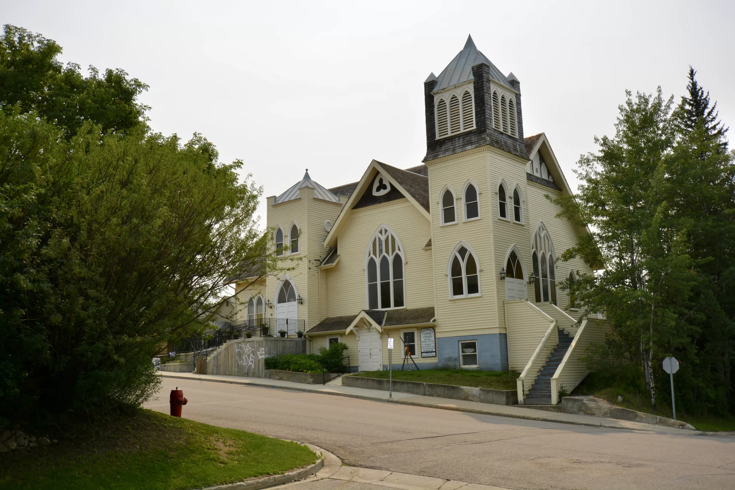 |
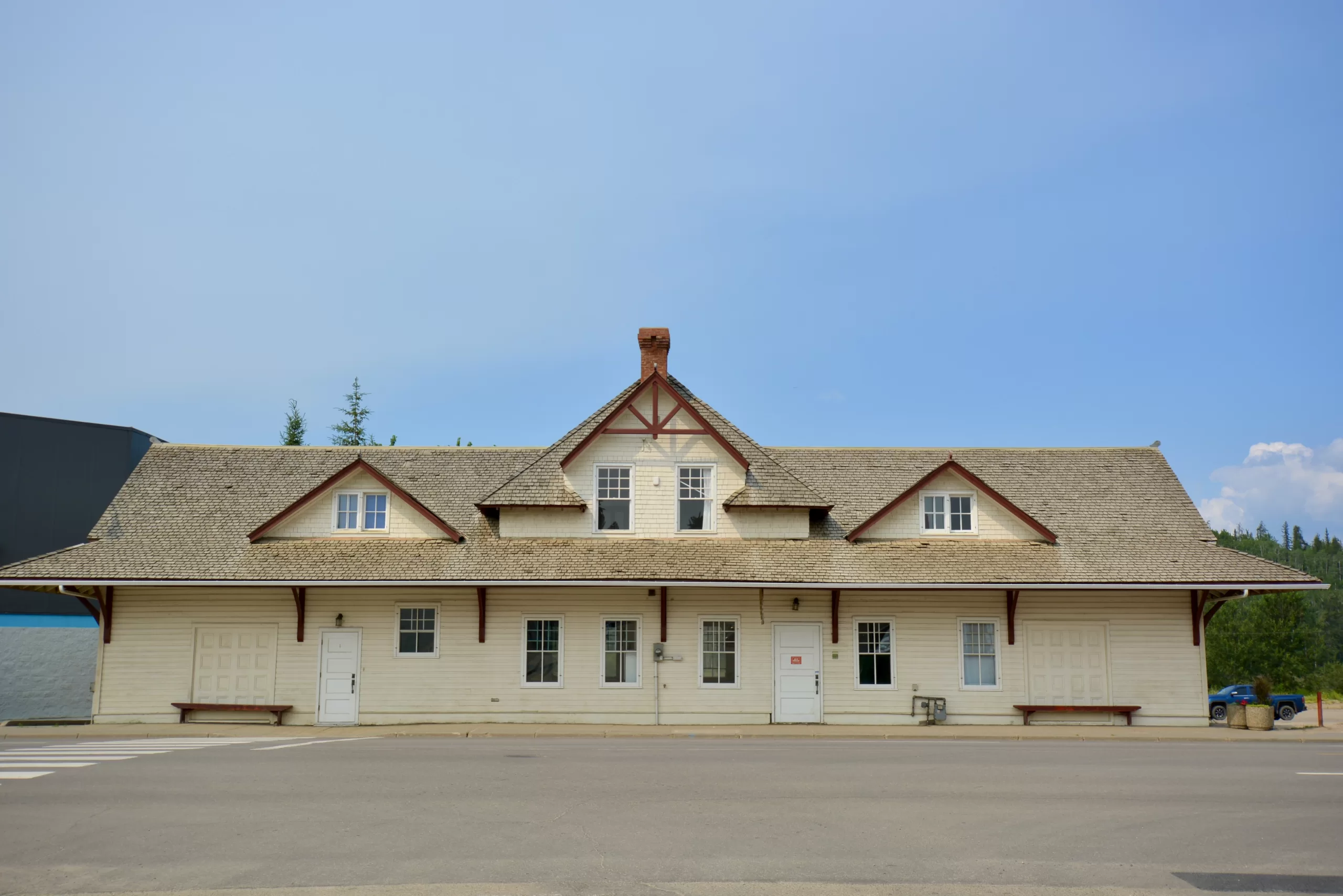
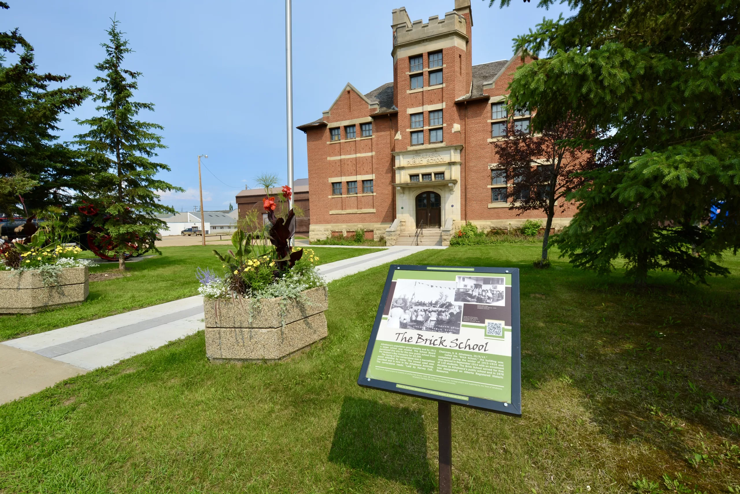
Athabasca Historical Walking Tour
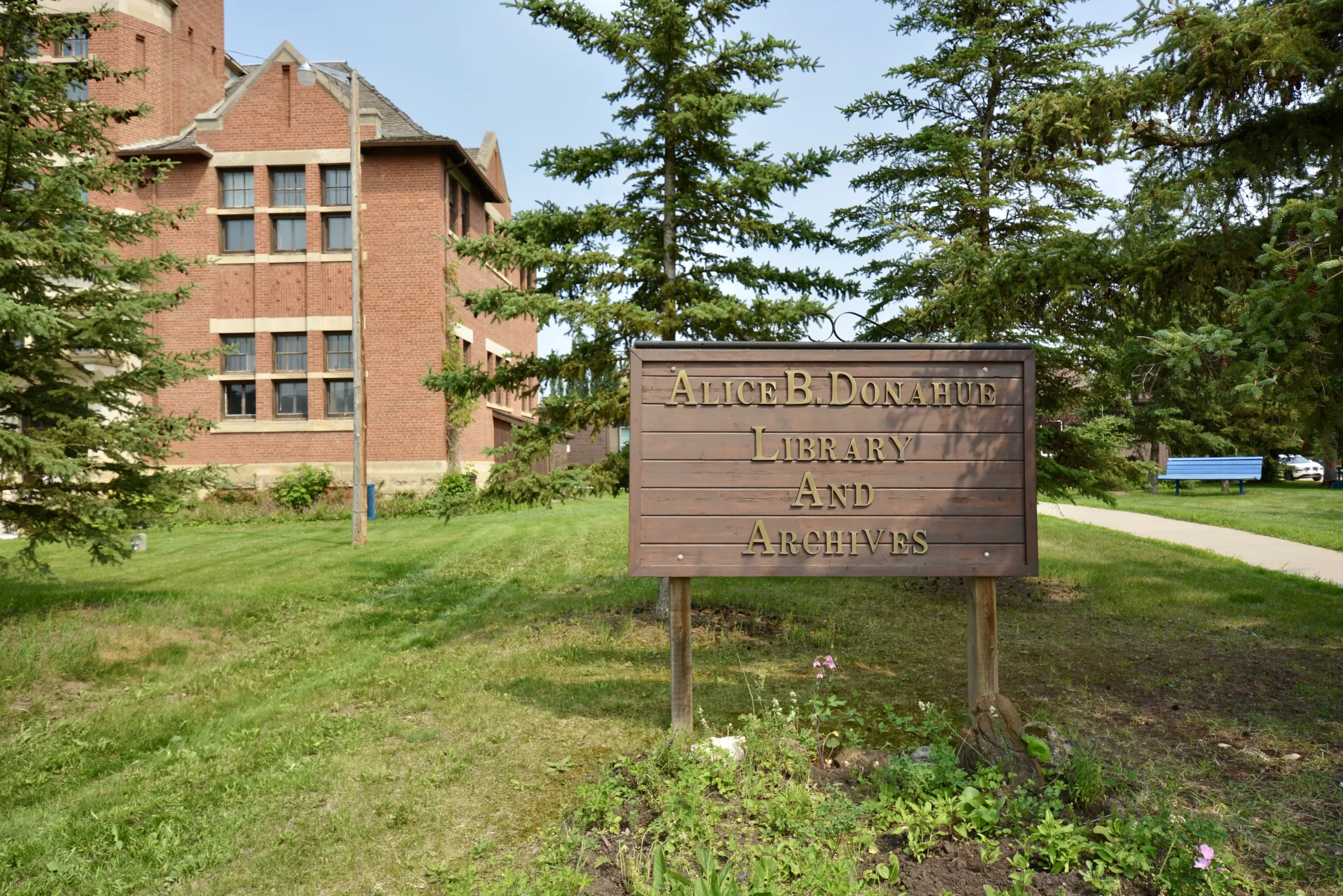
Learn about the history of Athabasca on this unique walking tour of the Town. The Athabasca Heritage Society in partnership with the Alice B. Donahue Library and Archives publishes a guide booklet with detailed descriptions of the landmarks and buildings.
There are many stops on the walk, 29 in total. At some places along the way, you’ll find signs that give you a brief history and context.
The walk starts at the Athabasca Train Station, moves through Downtown and up to the Archives and Old Brick School, and then you head back down to the Riverfront.
Take a look at some of the sites you’ll visit: Athabasca Historical Walking Tour Gallery
So, put on some comfortable shoes, fill up your water bottle and enjoy this self-guided tour of Athabasca History. It’s like an outdoor museum!
Athabasca Historical Walking Tour Guide Book
 |
 |
 |
Amber Valley Museum & Cultural Centre
One of the unique stories in the history of the Athabasca Region is that of the people who settled Amber Valley, about 20 km east of Athabasca on Highway 55.
In the early 1900s, many African American people, escaping from the conditions in America, settled in various parts of Western Canada. Amber Valley is one of those places.
The Amber Valley Cultural Centre is where the ancestors of the original settlers and the community come together for events and celebrations. Watch our calendar for their Chicken Suppers!
The Amber Valley Cultural Centre hosts a collection of memorabilia from the Amber Valley settlers. Call 780-675-3490 to book a tour of the collection.
 |
 |
 |
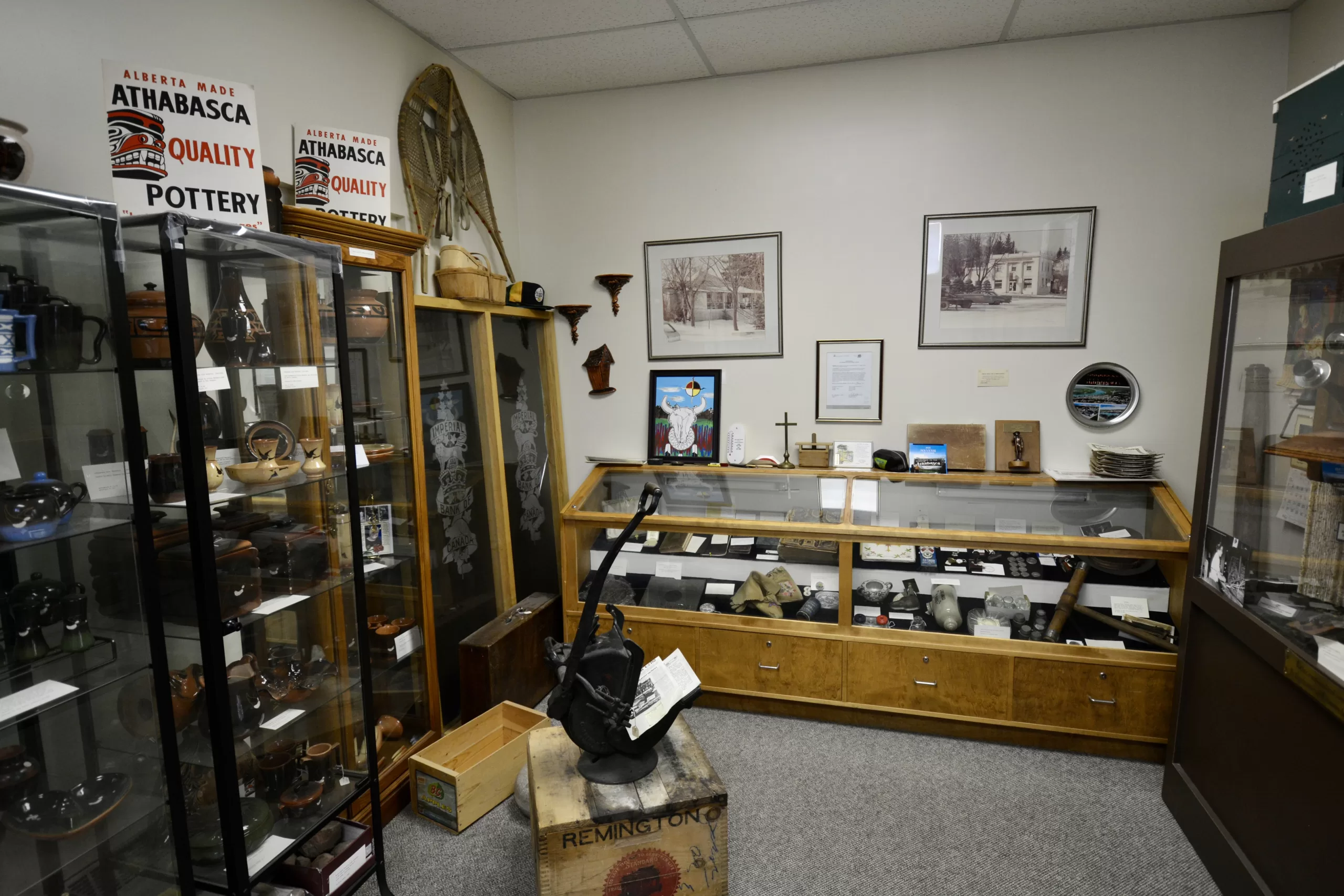
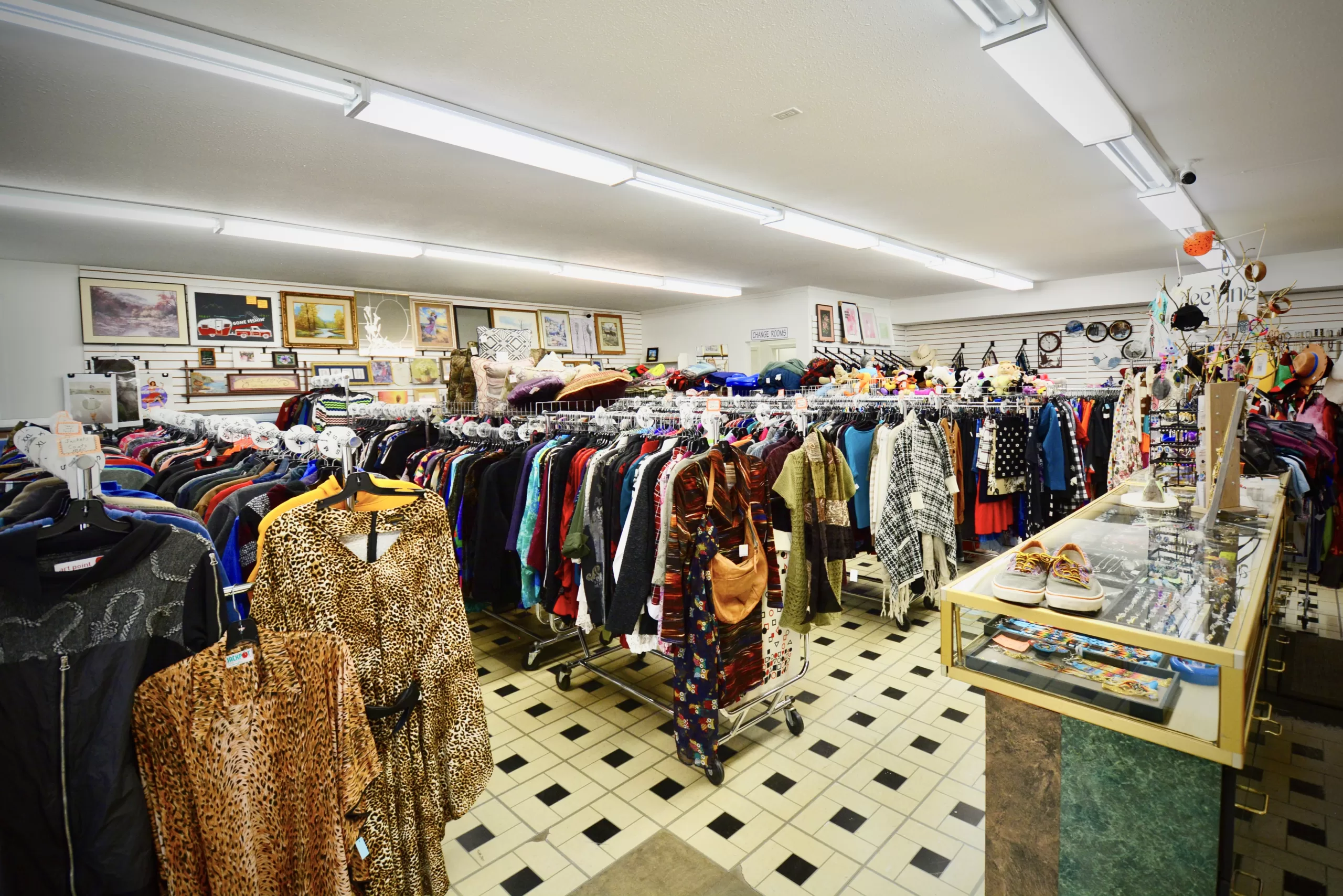
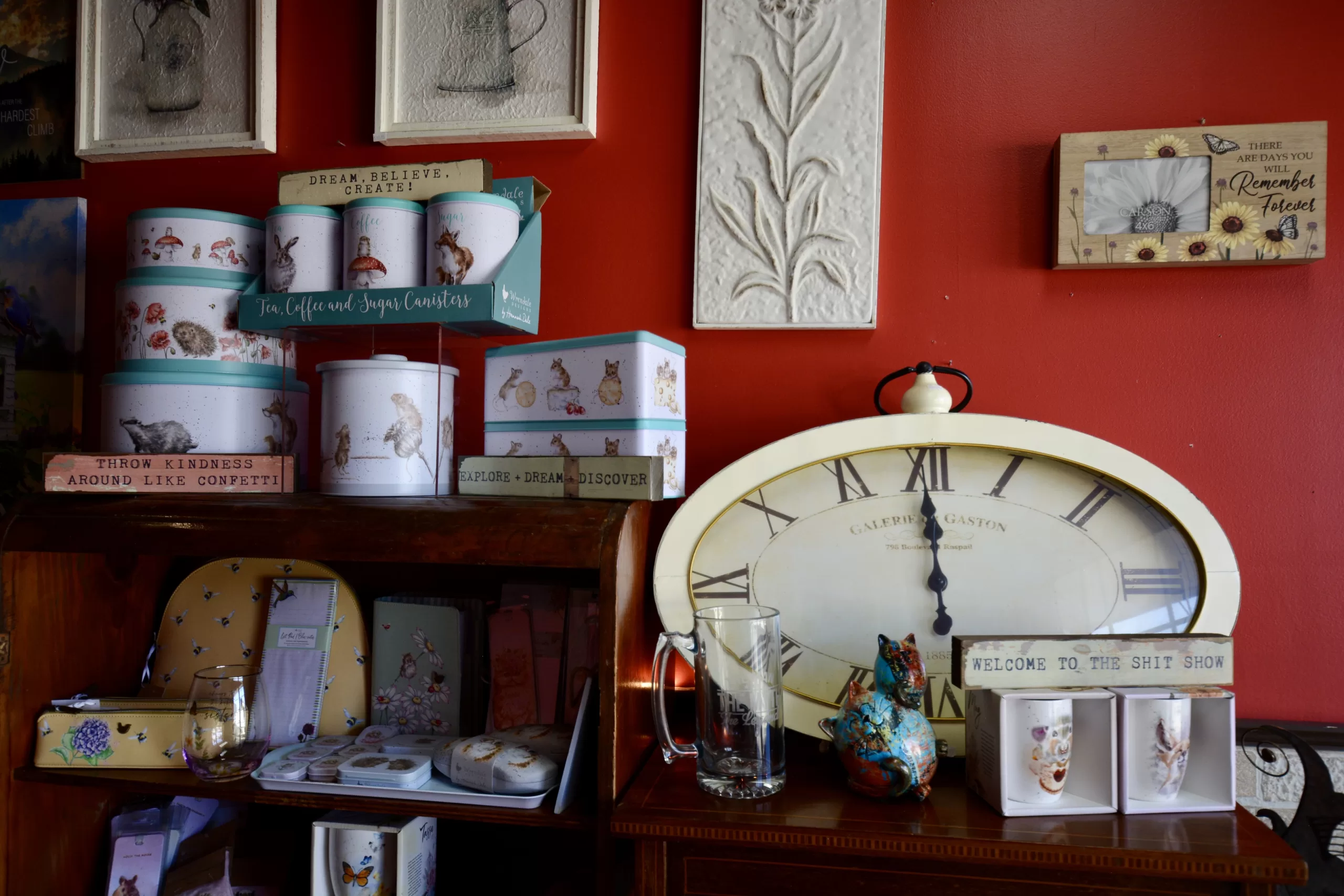
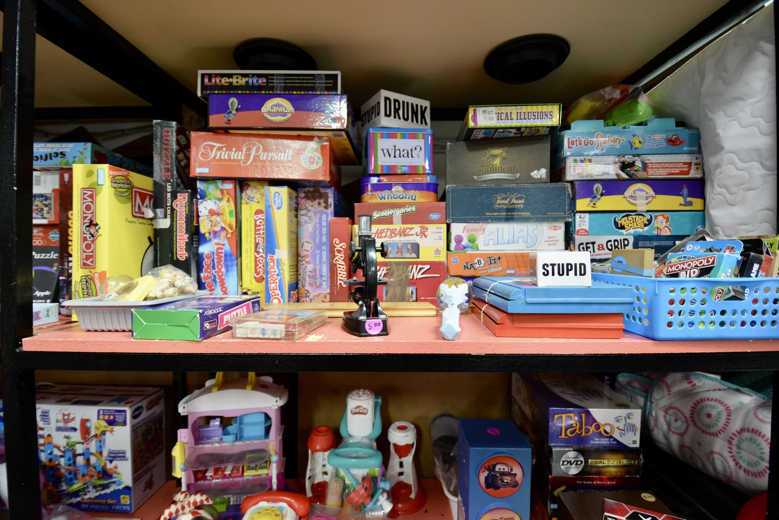
Antique and Collectables Collection at Island Lake
A hidden gem of the region is “Bill’s Garage Sale” and “Val’s Cabin”, a unique site tucked into the forest at Island Lake.
Bill’s Garage Sale is the ongoing project of Bill Desrosier. For over 25 years, Bill has been building his collection of antiques and collectibles, in his RV garage. It’s a fascinating step back in time, with more things to look at than you have time for!
And it is a garage sale! Bring some cash because you’ll want to pick up a few pieces.
After you visit Bill, Val Desrosier can show you the Cabin.
It is a re-assembled log cabin that’s lovingly set up with antiques and household items, in a museum-style display. There is Ukrainian art, historical pictures and even a machine used to knit socks!
They are open for visitors from spring to fall. Please call 780-675-5452 to check hours and availability.
 |
 |
 |
 |
 |
 |
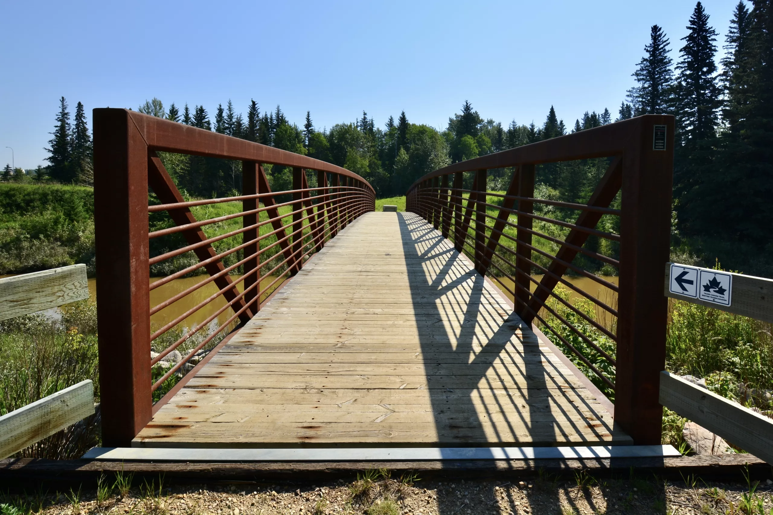
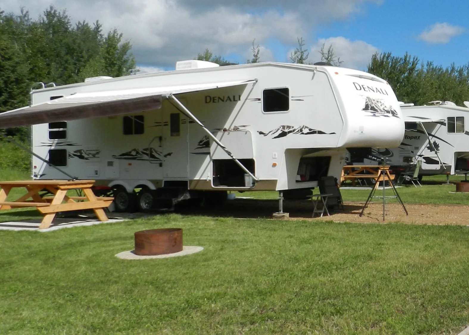
Trail Running & Athabasca River Access at River Meadows RV Park
Another unique place in the Athabasca region is River Meadows RV Park. For outdoor adventurers who like various activities, River Meadows has many right at your doorstep!
This privately owned RV park is about ten minutes north of Athabasca, close to Athabasca Golf and Country Club. The campsites are located just steps away from the Athabasca River. They offer seasonal and short-term stays.
The site offers access to get your watercraft into the river. You could paddle a canoe or kayak or launch your jet boat. There is an opportunity to fish off of the bank as well.
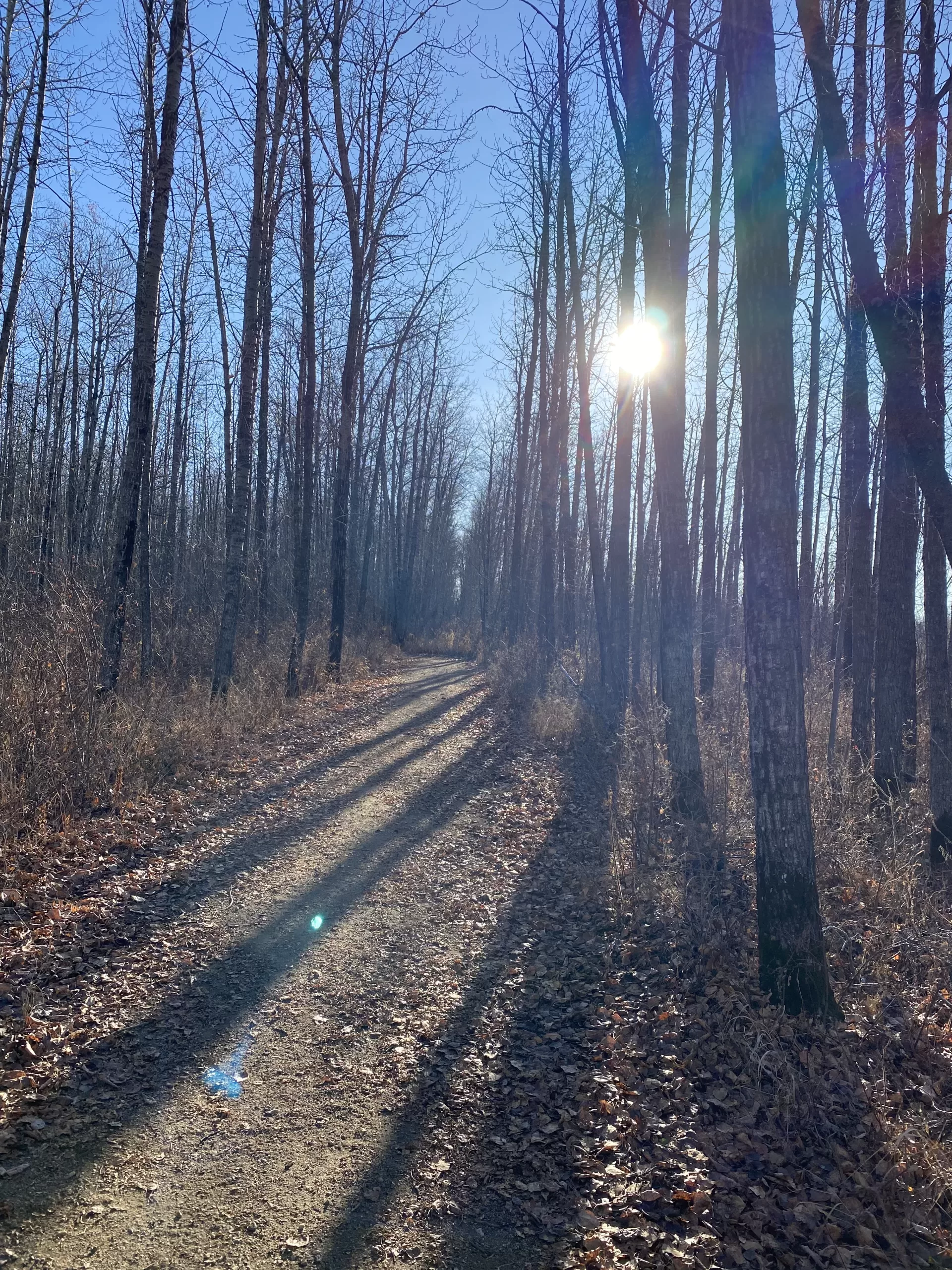
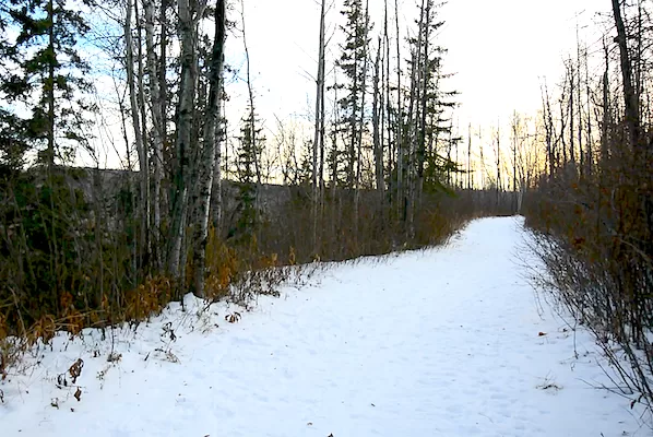
Once you have finished your river adventure, you can take in the amazing Boreal forest on a run or hike on the many trails. Some of the trails offer quite a challenge, being on the steep banks of the Athabasca.
Visit their website for more info and to book a site: rivermeadowsrvpark.weebly.com
Photos courtesy of River Meadows RV Park.
 |
 |
 |
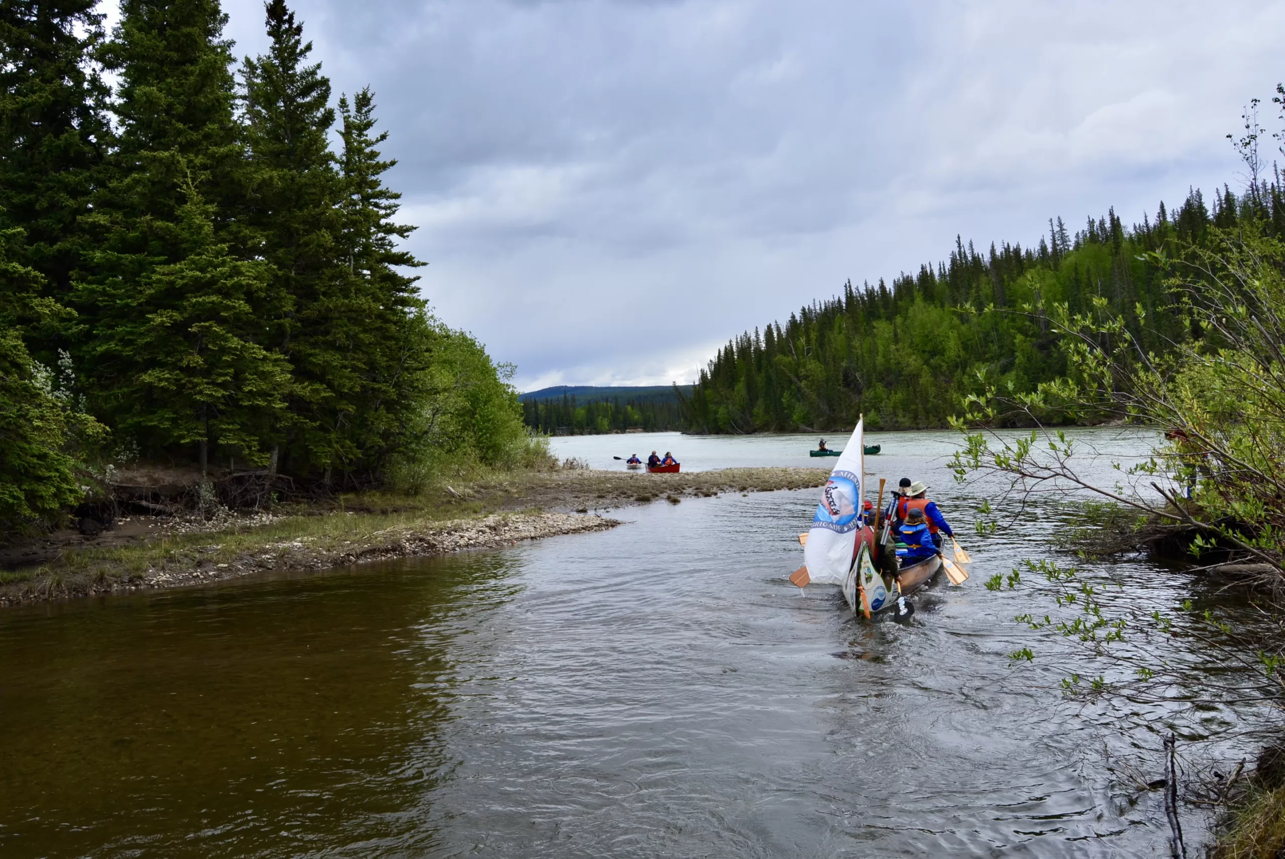
Kapâwinihk Triathlon
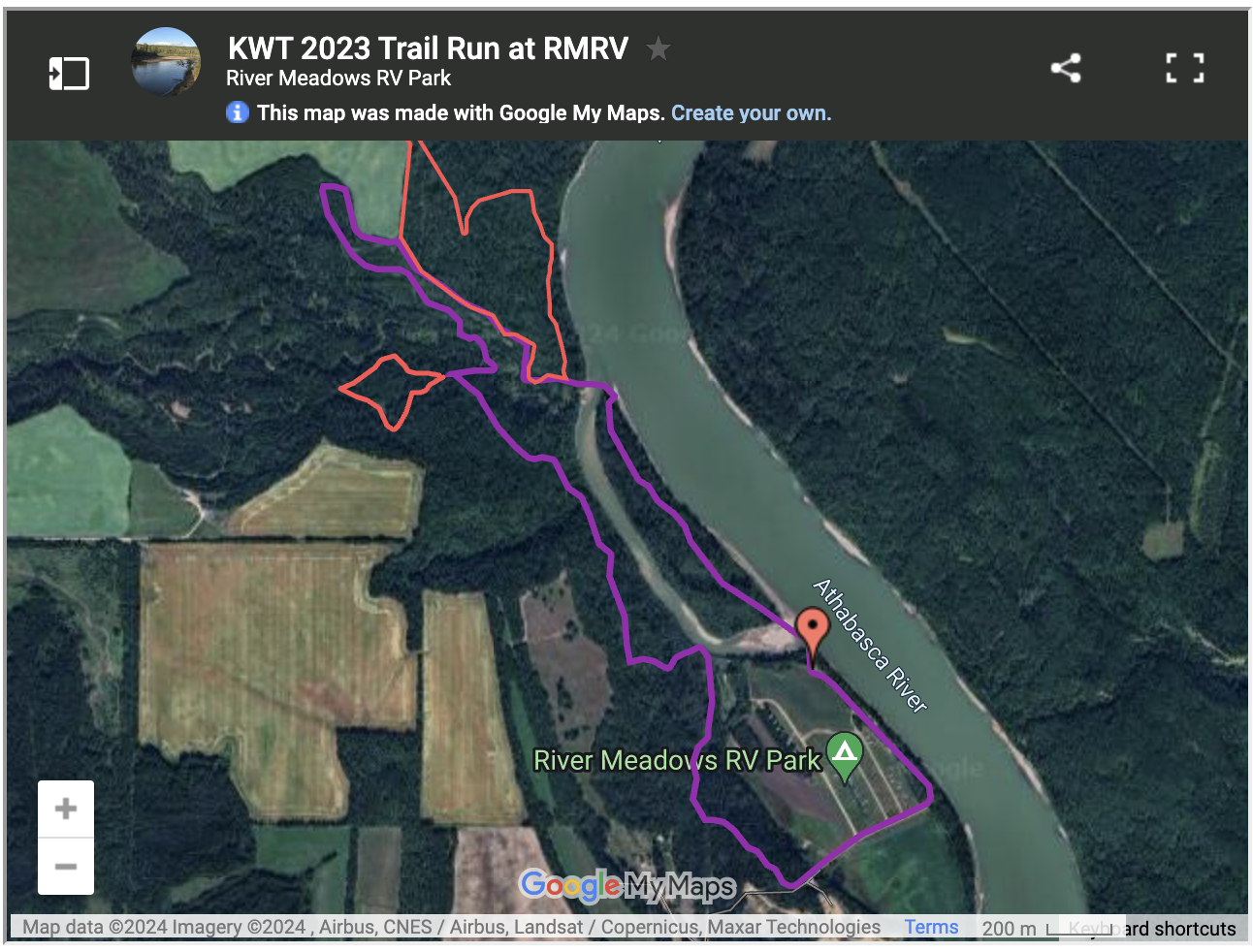
Those trails at River Meadows? They are part of one of the Region’s unique events, the Kapâwinihk Triathlon.
This triathlon is unique in that instead of swim/bike/run it’s bike/paddle/run. Contestants start at Riverfront Park in Athabasca on their bikes and head out to the Muskeg Creek trail system on the west side of Athabasca.
After finishing their loop on the bike trails, contestants jump in or on their watercraft (canoes for teams, kayaks and paddle boards) and launch into the Athabasca River. They follow the river downstream for approximately 8 km until they reach River Meadows RV park.
Here, the contestants don their trail runners and head out for 5 or 10 km of trail running through the boreal bush.
They are finally welcomed to the finish line with a BBQ and growler of craft beer! It’s always a challenge and always a good time!
Visit their website for details and to enter: www.parallel54.org
 |
 |
 |
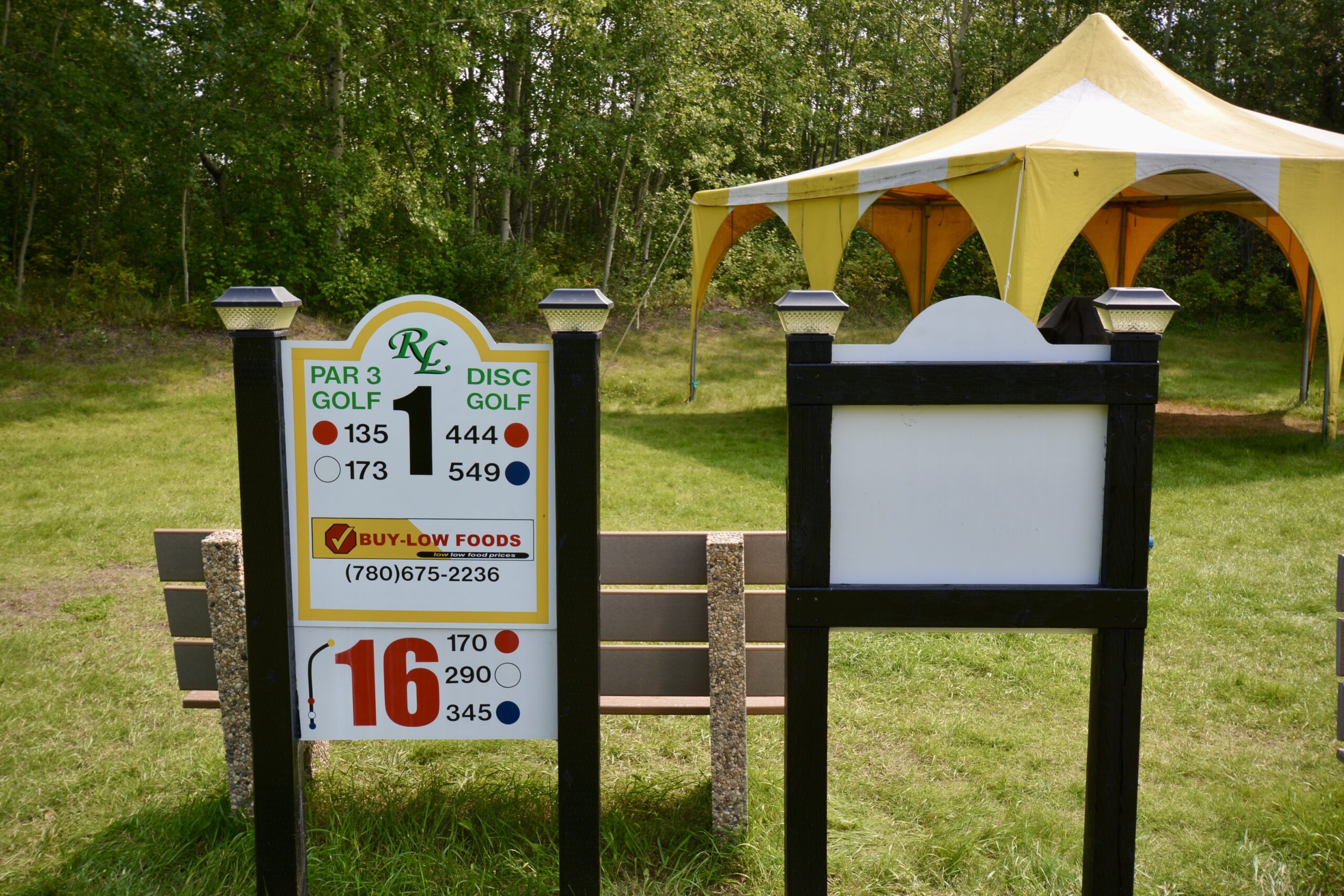
Par 3/Disc/Fling/Soccer Golf at Rockylane Fairways & Recreation
If golf is more your recreational style, check out Rocky Lane Fairways and Recreation. They have a unique course set up so players can enjoy traditional golf, disc golf, fling golf and soccer golf, all at the same time!
Rocky Lane is located just south of Athabasca, close to accommodations and restaurants, and if you are looking for a camping spot, they have unserviced lots for you to set up camp.
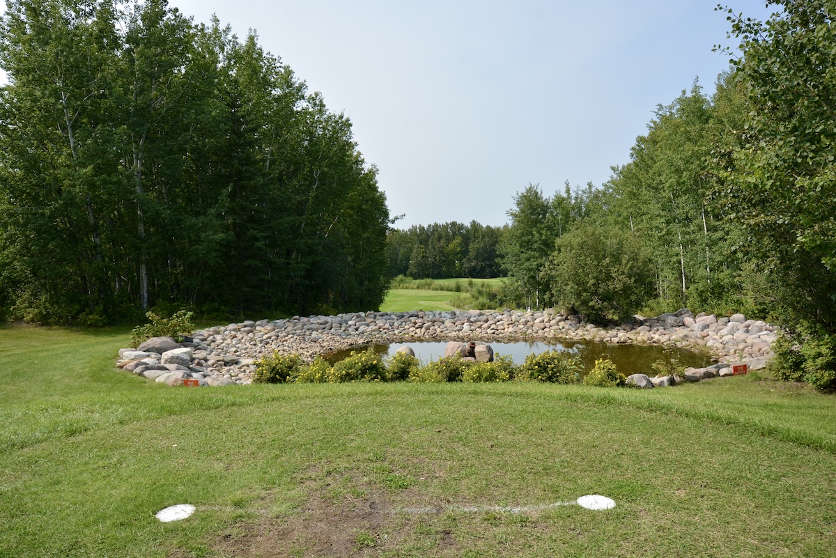
It’s a gorgeous and well-maintained par 3 course, with water features and a lot of bush. You can rent gear or bring your own.
Call 780-327-9671 to book your tee time or visit their website for more info: rockylanefairways.wixsite.com/recreation
Center photo courtesy of Rocky Lane Fairways & Recreation.
 |
 |
 |
Xcalibre Paint Ball
Are you looking for a unique group experience that involves shooting skills, stealth and a lot of fun? Then paintball at Xcalibre Paintball should be on your bucket list.
Located 14 km south of Boyle, close to Long Lake Provincial Park, and tucked into the Boreal forest, the property has multiple playing fields and obstacle courses.
You can rent gear or bring your own. If you are looking for a group experience, make a reservation, if you want to try it out, you can join with other players on the course. Open to all ages, but minors must have a parent’s signature.
Check out their website for more info: www.xcalibrepaintball.com
Photos courtesy of Xcalibre Paint Ball.
Now that you know some of the special and unique places, events and activities in the Athabasca Region, be sure to experience one or all of them the next time you visit. Tag your social posts with #VisitTheAthabascaRegion to share your experiences!