4 Routes for Bird and Wildlife Viewing in the Athabasca Region
The Athabasca Region is nestled in the southern part of the mixed-wood boreal forest, providing excellent habitat for birds, mammals, amphibians, insects and more! This creates great opportunities for wildlife spotting, photography and viewing. Each season there is a varied cast of characters for you to see. Spring is a great time for returning migratory birds.
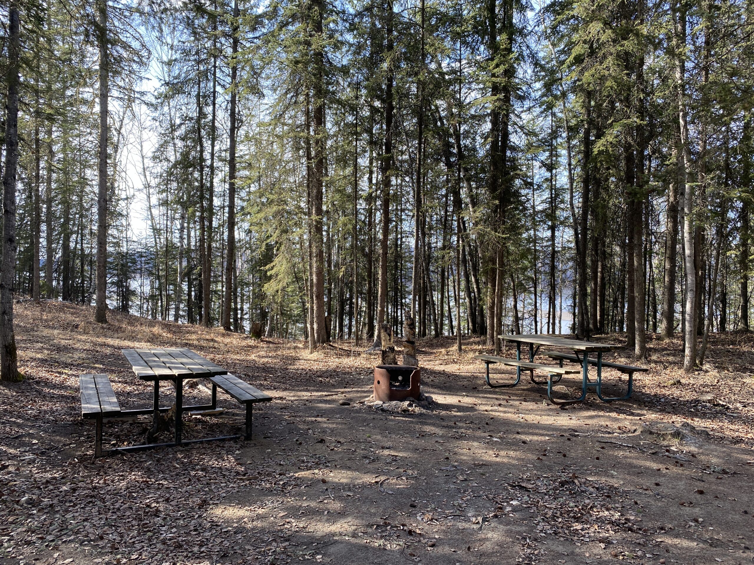
The Athabasca Region has viewing platforms and other infrastructure to help make your wildlife watching easier. All of the routes have ample camping spots, so you can take your time to tour all of the sites. So bring your binoculars or telephoto lens to glimpse some of the iconic species in the Athabasca Region! #LiveLifeOutside
Here are some routes to help you plan a wildlife-viewing adventure…
Tips for Successful Wildlife Viewing
- The wildlife you might see depends on the seasons. Some birds may live here all year and others migrate here.
- Some of these sites are more remote and may not be accessible by all people. Many viewing platforms have ramps, but getting to them may be a challenge.
- Many roads are gravel, so be prepared for the driving conditions.
- Don’t feed or harass wildlife and stay a safe distance away.
- Keep your pet leashed. Dogs can scare wildlife.
- Dress for the weather. Layers are best in our climate!
- Be respectful of the habitat and leave no trace.
- Have fun!
Here are some guides produced by Crooked Creek Conservancy and partners. They have some basic maps, lists of species and details on when and where to best view them.
Birds of the Athabasca Region Guide | Mammals of the Athabasca Region Guide
South of Athabasca
A great wildlife-watching day trip or overnight from Edmonton!
Leave from Edmonton or St. Albert and drive north on Hwy 2 to Rochester. Turn into Rochester and follow Range Road 240A north out of the village. The viewpoint is about 7 km north. There is a sign to mark the entrance.
From there make your way north-west to Narrow Lake Campground. Travel north to Perryvale and get back onto Hwy 2. Travel north to Hwy 663 and turn west. Follow to TWP 650 (its a bit of a jig and a jag, so consult your maps). Follow west then forth to the campground. There are tables and fire-pits in the day-use area and this would make a good spot to view, as it is adjacent to some riparian areas where birds and wildlife might hang out.
Depending on how long you want to spend, from here you could visit Cross Lake Provincial Park or head north to Baptiste Lake. Cross Lake has a viewing platform that is a bit of a hike in, but is an undisturbed area so viewing might be good!
To get to the Baptiste Lake Campground, take TWP 652 east to Hwy 812 and head north. This will take you to Baptiste Lake. Turn west to Baptiste Lake and follow Baptiste Dr. to the campground. When you arrive at the Baptiste Lake Campground, follow the road north a bit and you will see some picnic tables along the bank. This area is a little more secluded and away from the busy beach area.
When you are finished at Baptiste, head east on Hwy 2 to Athabasca for a delicious meal at one of our great restaurants or stay overnight. From Athabasca, it’s just 1.5 hours back to Edmonton.
Tawatinaw River Viewpoint
 |
 |
 |
Narrow Lake
 |
 |
Baptiste Lake Day Use Area

North of Athabasca
North of Athabasca there are some opportunities to do some viewing right on the Athabasca River and then at Calling Lake Provincial Park.
Travel north from Athabasca on Highway 813. The first place to access the river on this route is River Meadows RV Park. They are a private RV park but have a day-use area right on the river bank. Their site is also adjacent to a meander that might be a great spot to view all sorts of wildlife. If you want to stop in for the day, please contact them here. Or better yet, if you are combining your wildlife viewing with camping, stay the night!
From there you can return to Highway 813 and follow it to Riverside Recreation Park. Turn east on Twp Rd 684. Turn right on Range Road 214 and continue until you reach the campground. There is access to the river, a day-use area and camping.
From there return to Highway 813 and follow it north to Calling Lake Provincial Park Campground. There are a few secluded spots along the lake bank where some birds and other wildlife might be hanging out.
Northwest of Athabasca
This route is a longer day trip from Edmonton or Athabasca. There are plenty of camping or lodging opportunities if you want to stay overnight.
From Athabasca, follow Highway 2 West then north. Turn east on TWP road 673 and follow to RR235. Head north to TWP road 680. Turn east and follow to the campground. Island Lake has a viewing platform that is a short hike from the campground.
From there, make your way back to RR 235 and turn north. Travel a few kilometres until you get to TWP road 682 and turn east. Travel east to RR 234 and travel north to the Chain Lakes Provincial Recreation Area Campground. Chain Lakes has an open beach for birdwatching and provides self-registration campsites.
From Chain Lakes PRA, head back down to TWP 682 and travel west until you get to Hwy 2. Turn north and travel 15 km to the Lawrence Lake Provincial Recreation area. The campsite is just off the highway. There is a day-use area where you can set up.
Island Lake Campground
 |
 |
 |
Boyle – East Athabasca County
The Boyle area offers multiple birdwatching opportunities and wildlife spotting. Much of this area is connected to a large section of undisturbed Boreal forest. There are also a varied selection of camping opportunities.
Travel north from Edmonton to Waskatenau. Just before Waskatenau, turn north onto Hwy 831 at the traffic circle. Follow Hwy 831 to Long Lake Provincial Park. Turn east on TWP 631A and follow to the campground. Two sections of the campground offer birdwatching opportunities. There is a day-use and beach area in the north section and a smaller dock and beach section in the south section.
The trailhead leading to the White Earth Valley Natural Area is at the far south end of the south section. Along the trail, there are multiple spots to set up for your bird and wildlife viewing experience.
From Long Lake/White Earth, head back to Hwy 831 and travel north towards Boyle. After stopping for refreshments at Boyle, travel north on Hwy 63 to TWP 654 and follow the signs to Hope Lake Campground.
Hope Lake offers a beach and dock area for observation and an extensive trail system that follows the lake. There are many riparian areas where you will find birds and wildlife.
From Hope Lake, head back to Hwy 63 and travel north a short distance to TWP 662. Follow the signage to North Buck Lake Narrows Campground. This campground had a birdwatching platform that overlooks a narrowing with a lot of wildlife-friendly vegetation.
If you plan on making more of an overnight or multi-day trip, you could continue north on Hwy 63, turn west on Hwy 55 and head to Poacher’s Landing. Turn west on Hwy 55 and follow a short distance to RR 194 A, which leads to the Alberta Pacific pulp mill. Foll north to TWP 690 and turn east. Follow a short distance to the Poacher’s Landing entrance. When you get to the park sign, take the left road to the campsite. Poacher’s Landing has a day-use area and 6 first-come first-serve campsites. From the boat launch area, you’ll see several islands in the river that are home to many birds.
If you travel from Fort McMurray, follow this route in the opposite order!
Long Lake Provincial Park/White Earth Valley Natural Area
 |
 |
Hope Lake Campground
 |
Poacher’s Landing
 |
 |
Share Your Photos
Whichever route you choose, we hope you get some great photos! Share on social media with the hashtag #VisitTheAthabascaRegion! If you have any questions, contact us here.